If you wish to ascend to the summit of the largest volcano in the Cascade mountain range, which stretches 700 miles from Northern California to southern British Columbia, which of the following must you possess?
a) Advanced mountaineering skills, including proficiency in glacier travel using crampons and ice axe.
b) Roped climbing experience.
c) Tolerance for rigorous physical exertion in high-altitude environments.
d) Little more than a drivers license and a functioning motor vehicle.
The correct answer is d, but it’s kind of a trick question. I asked about ascending the “largest” of the Cascade volcanoes, not the tallest. That would be Mt. Rainier in Washington, topping out at 14,411 feet, its upper slopes clad in snow and ice year-round. Summiting it definitely requires technical skills, experience and endurance; in terms of injuries and deaths among climbers, it is the second-most dangerous mountain in North America.
Rainier and its sister stratovolcanoes — including such photogenic peaks as Mt. Adams, Mt. Shasta and Mt. Hood — are the skyline-dominating divas of the Cascades, grabbing all the attention. They are also known as composite volcanoes, and their conical shape is the result of multiple layers of materials deposited by multiple types of eruptions, including highly viscous lava flows that harden before flowing very far, and explosive outbursts of ash and rock. These layers stack up into steep-sloped spires that rise abruptly from their surroundings.
The largest volcano in the Cascade chain, on the other hand, is a far less photogenic shield volcano, one formed by many eruptions of fluid lava that smoothly and un-dramatically flowed out of multiple craters and vents to create a mountain with a humbler profile, low and broad. And there’s a good chance you have never heard of it.
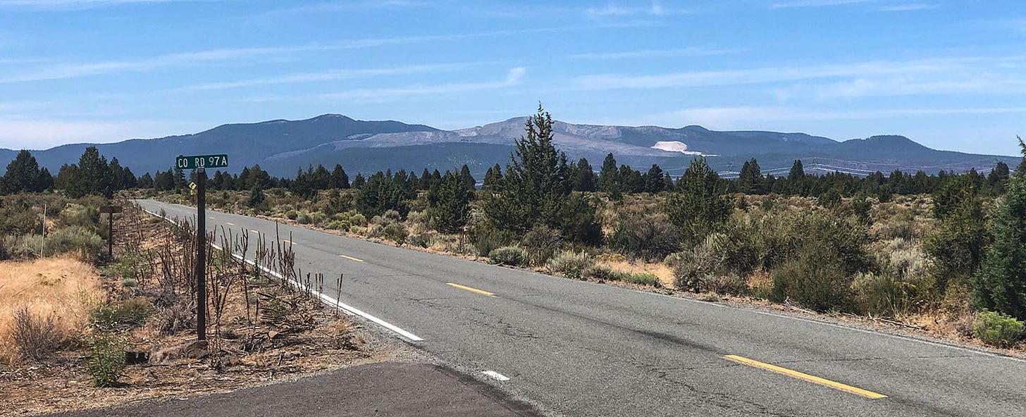
Medicine Lake volcano bulges out of the Modoc Plateau in the remote northeastern corner of California. Its estimated volume of 143 cubic miles makes it the largest volcano in the Cascade range, according to the U.S. Geological Survey. Although its summit tops out at a relatively modest 7,913 feet, the mountain is about 22 miles wide from east to west, and about 30 miles wide from north to south. The circumference of its base is 150 miles, and its bulk covers more than 770 square miles. An entire National Monument — 47,000-acre Lava Beds, just south of the Oregon border — seems all but lost on the volcano’s northern flank.
The volcano is, in a word, enormous. Like many big things, it’s impossible to take it all in without stepping back a bit. In this case, as Leslie and I found on a recent trip to the area, you must step back about 20 miles.
Lava love
We spent two days exploring Medicine Lake volcano during our most recent trip in Next Chapter, the focal point of which was a four-day whitewater rafting trip on the Rogue River in southern Oregon. (More about that in a future post.) If you are a geology nut like me — particularly if you share my fascination with volcanic landscapes — the Medicine Lake region rewards a visit.
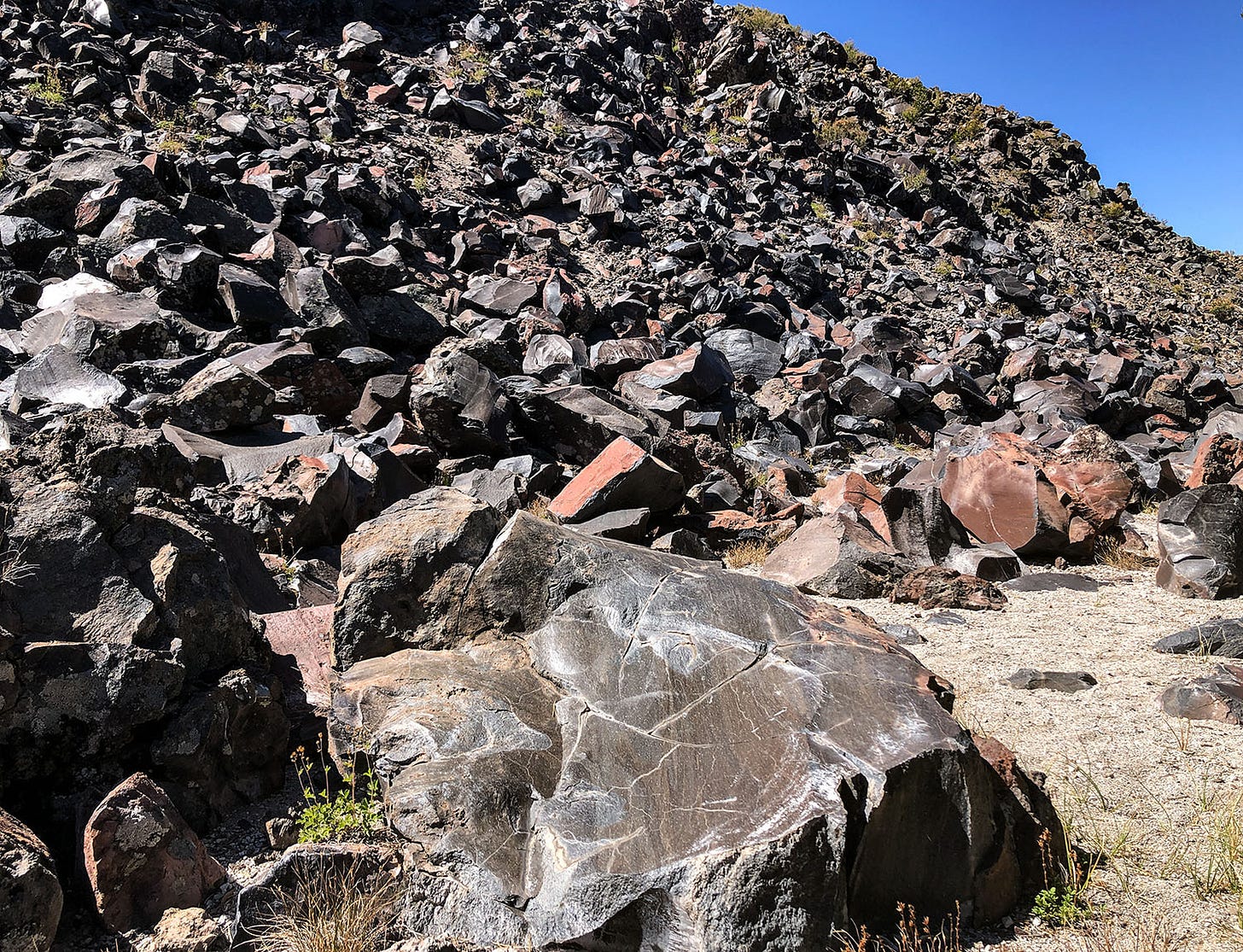
Although much of it is a barren, uncompromising place shaped by fire, the higher elevations are forested and bear the signs of alpine glaciation, meaning they have been shaped as well by ice. You can, as we did, spend your day driving and hiking around in a vast maze of lava flows, spatter cones, cinder cones and mountains made of glass, broiling in the high-desert heat, and then retreat in the evening to camp in the cool shade of conifers on the edge of the volcano’s namesake lake. The lake occupies a small part of the volcano’s summit caldera, formed when lava flows emptied a magma chamber within the mountain, causing it to collapse upon itself.
I am not certain why I find volcanic landscapes so compelling, but I have since childhood. Perhaps it has to do with the fact that from the ranch in Northern California where I grew up, the dominant geographic feature on the horizon was a volcanic peak called Mount St. Helena. Local lore was fuzzy on whether it was extinct or merely dormant, but as a kid I found the possibility that a neighborhood volcano might unexpectedly erupt to be a source of fascination and minor-league amxiety.
Turns out I need not have worried. Mount St. Helena is apparently not a volcano, but an uplifted mass of volcanic rocks associated with the Clear Lake volcanic field. That still-active system is responsible for The Geysers steam field that generates electricity near Geyserville, as well as the hot springs of the old resort town of Calistoga. And actually, Mt. Konocti, part of the same system, is a true volcanic peak (although one not visible from my childhood home), and the USGS considers the risk of future eruptions there to be significant.
So maybe I was correct to be alarmed after all. I was just alarmed by the wrong mountain.
Yet as an adult, and as a student of the forces that shape the land, I think one of the main reasons for my igneous ardor has to do with the speed and violence by which volcanic activity can remake the Earth’s surface.
My favorite places throughout the West are characterized by grand geology: the river-hewn canyons of the desert Southwest; the glacier-sculpted valleys, peaks and lake basins of the Sierra Nevada and the Rockies; the rugged Basin and Range province of eastern California and Nevada, a product of dramatic fault-block uplift and subsidence. But the processes that produce them occur at a pace so slow that it beggars human understanding.
The sedimentary layer-cake that is the Colorado Plateau, for example, is the result of hundreds of millions of years of deposition, uplift and erosion. The canyons that I love to explore are scratched unnoticeably deeper with each flash flood, the process so slow in human terms that natural history guides inevitably refer to it, and to the rivers, as “patient.”
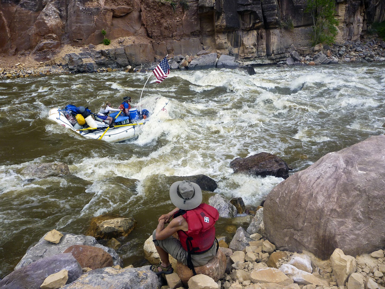
There are occasions, of course, when geologic time and human time intersect. In 2013, for example, Leslie and I were on a commercial rafting trip on the Yampa River, a tributary of the Green River that flows through Dinosaur National Monument on the Utah-Colorado border. A few days downstream from the launch site, our group eddied out when we noticed a large number of rafting parties gathering on the bank to scout a major rapid that none of the guides had ever seen before.
Sometime within the past few days, we discovered, a huge rockfall from the canyon wall high above the river had obliterated streamside vegetation and deposited large boulders into the Yampa. The unexpected obstacle was not too difficult to run, but it was a reminder of the role played by forces we almost never witness in shaping the landscapes we visit.
But if sedimentary landscapes generally are “patient” ones, volcanic landscapes are decidedly impatient. They can remake themselves in a week, a day or an instant. Sometimes this is through an event of unimaginable violence, while other times it is through relatively staid, if spectacular, events that may safely be observed from a fairly close position.
And there’s something almost magical about them: Watching lava pour from a vent or crater, you are witnessing the creation of new Earth. Walking across a recently cooled flow, devoid of any life, is like setting foot for the first time on a foreign planet.
History lessons
We visited Medicine Lake volcano in late August, heading south from the Rogue toward Yreka, and then driving east across miles of cattle country and into the Klamath National Forest. We followed unpaved forest roads for many miles through the severe burn scar of the Antelope fire, which charred 146,000 acres in 2001, crossed into the Modoc National Forest, climbed over the rim of the volcano’s caldera and dropped down to Medicine Lake in late afternoon.
There are several developed campgrounds along the lake’s shoreline, and although they were not full, they were crowded and noisy — not our kind of scene. We found a quieter site tucked into the forest farther from the lake and parked Next Chapter there for the night. (We moved to an empty campground even farther from the lake’s hustle and bustle the next night.)
The following day, we explored the area, and visited the Lava Beds National Monument visitor center, which is small but provides a decent overview of the region’s geologic and human history.
The latter, as is so often the case in the West, is not a happy tale. Or it was, for about 10,000 years, during which countless generations thrived in a diverse ecosystem that once included a vast complex of lakes and wetlands straddling what is now the California-Oregon border. But in the late 1800s, white settlers from the East invaded the homeland of the Modoc people and their ancestors, and began displacing them. Conflict ensued, settlers grew impatient with indigenous pushback, and at their behest the U.S. government stepped in to force the Modoc onto a distant reservation. When some of the Modoc returned in 1872 to seek refuge in the lava beds of their home territory, the Army moved in with orders to round them up and remove them.
The visitor center exhibits, like much conventional history about the episode, refer to what ensued as the “Modoc War.” That seems an inadequate descriptor for a conflict that, at its heart, was a series of violent skirmishes between hunter-gatherers trying to preserve their ancestral way of life and a modern military force trying to dislodge them from their home using rifles, howitzers and mortars that fired explosive shells. It ended, predictably, with the Modoc holdouts’ eviction and resettlement as far away as Oklahoma. Some of their leaders were executed.
Aside from this lamentable history, the monument is perhaps best known for its network of more than 900 caves inside hollow lava tubes, formed when flowing streams of molten rock began to cool. The flow’s exterior hardened while the molten material inside continued to drain, leaving behind an empty tunnel.
Leslie and I toured the easiest of these to explore, near the visitor center, but also hiked to a more remote one, to examine the pictographs — a rare form of rock art in this part of California — on the walls near its entrance.
They are striking and enigmatic, red and black designs of symbolic meaning to the people who once called this challenging landscape home. The art is beautiful, but there also is something melancholic about those silent messages from the ancestors of a dispossessed people. They feel like reminders that too often, the violence that reshapes an impatient landscape does not emanate from within the Earth.


Ahhh, thanks, John. Enjoyed your latest information and lessons about volcanic landscapes. We also, river rafted on the Yampa River this past June! We loved it and our guides talked about when the rocks changed the River in 2013.